Peterborough Bridges
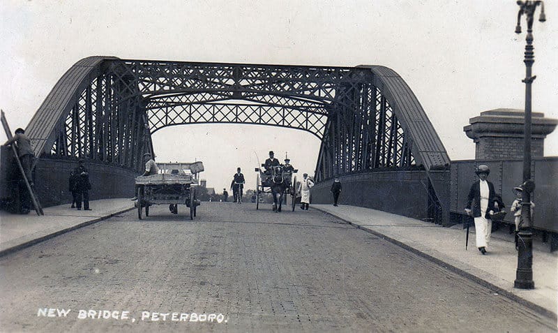
At the well attended October meeting of the Society, Out speaker for the evening was Mr Brian Keegan, an ex-Civil Engineer who worked in Peterborough, the subject of his talk was about the Bridges of Peterborough.
His interesting, comprehensive talk covered the origins, history, use and construction of bridges in the area. He began with a description of the various materials used over the centuries. From simple wooden plank bridges to local stone bridges, prestressed concrete bridges, elaborate steel constructions to modern carbon fibre constructions.
Peterborough, with its origins going back to pre Roman times and over the centuries becoming an important Fenland town, was surrounded by many fenland waterways. The need for bridges has always been important for the movement of people and goods around the area. In the Fenland countryside surrounding Peterborough, there are over 300 bridges spanning the waterways and dykes.
From the 19th. Century onwards, with the River Nene, flowing west to east and then the railway running south to north, divided the growing residential and commercial areas of the city. Peterborough’s need for bridges to facilitate transport grew. During the 1970s with the era of the Development Corporation and the expansion of the City the construction of the Parkway road system around Peterborough meant the number of bridges being built escalated. Before the Development Corporations city-wide expansion the only main traffic crossings over the Nene was the Town Bridge and a few miles further west, out of town, the Miton Ferry toll bridge, then the A1, Wandsford, river bridges. Going East was the Fenland bridge at the Dog and Doublet Pub before Guyhirn Bridge, The Development Corporation left a legacy of interesting bridge design and construction to add to the history of Peterborough Bridges.
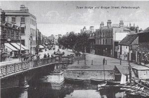
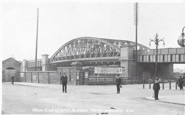
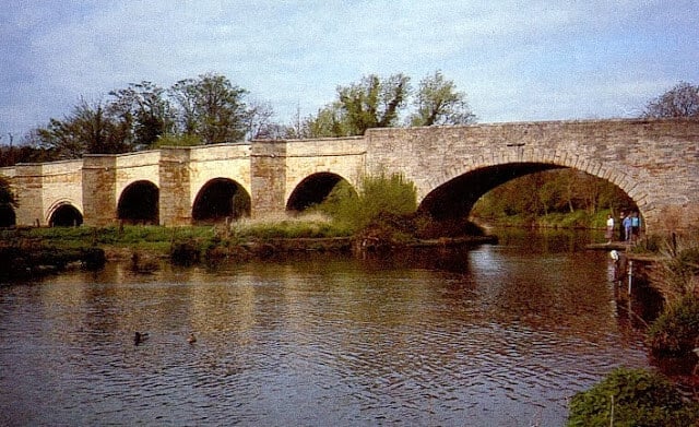
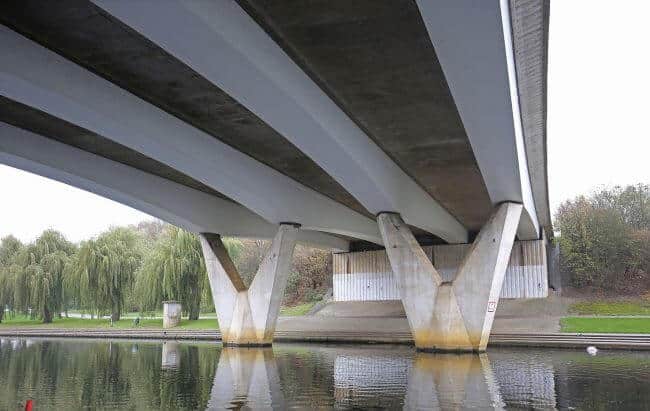
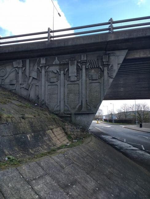
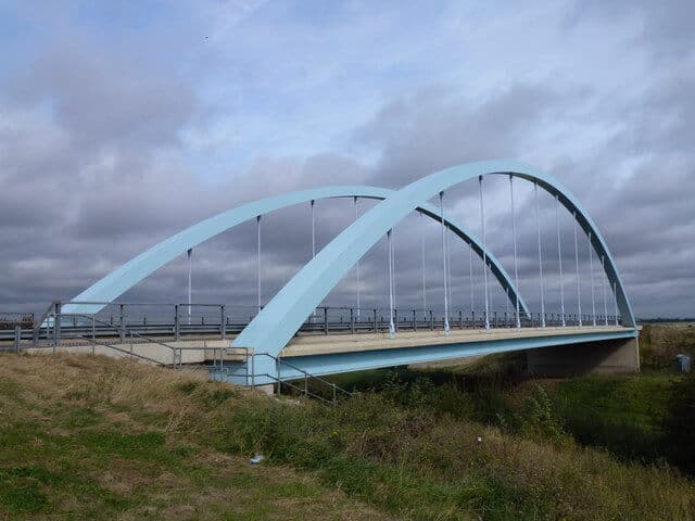
Brian’s fascinating talk covered the reason for, the history and the construction used for all the most important bridges in the area. It was difficult to decide what bridges to talk about in this short post so I’ll leave you with a few images of some Peterborough Bridges. From the oldest to the newest.
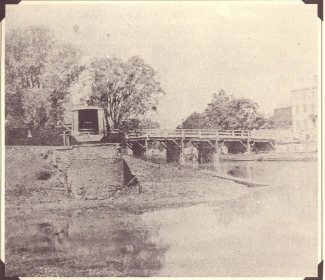
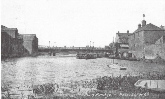
Photo from June & Vernon Bull’s booklet “A Portrait in Old Picture Postcards”

One Comment
I’m doing some research into the history of the Northborough viaduct known as Nine Bridges. I’d like to know when it was originally built and a little about its history prior to the construction of the Maxey Cut.
It features on the 1805 O.S. map TF1507 and spanned several drains and rivers and was a thoroughfare from Glinton to Northborough. I wonder if you would be able to help please.
As you know the areas around Etton, Maxey and the Deepings and Spalding and Crowland were prone to flooding hence the Welland Major Improvement Scheme, which included the widening and regrading of the old Maxey Drain resulting in the Maxey Cut in1954 but its the older history I’m looking for without success. Hopefully a vist to Peterborough Archives may prove helpful but I’d be most grateful if you have any information or can point me in the right direction. Thanks. Keren Thomson